Carte des stations de ski en France
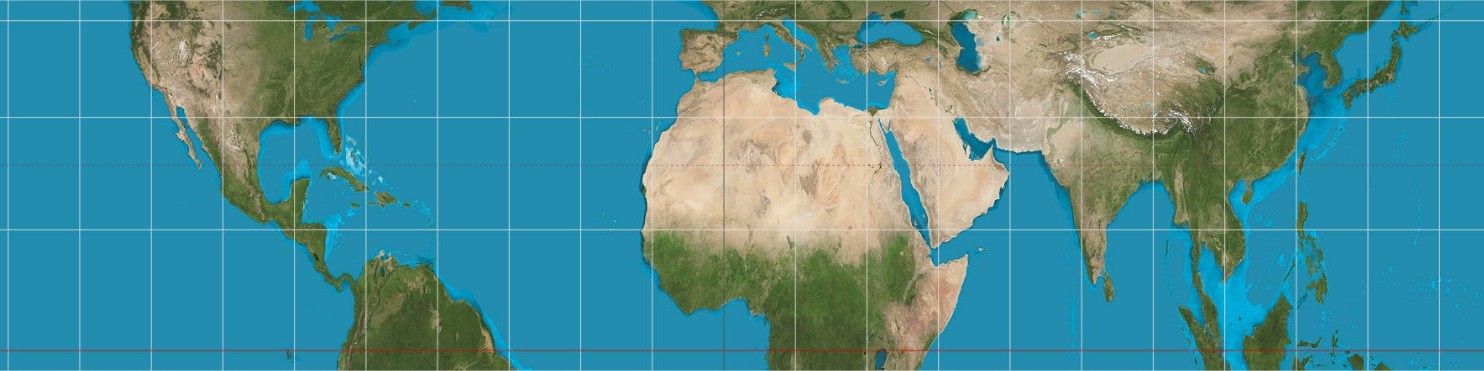
Many projections of the globe have been published over the centuries, despite the mathematical impossibility of a rectangular projection. There is then a heated debate about which is the most accurate. Impossible question of course as it depends on which parameter you value the most: angles, areas or distances. There is no way to be accurate on one parameter without changing another incorrectly.
Here are some pages to help to better understand the differences between the different projections available:


Source: EmpororTigerstar
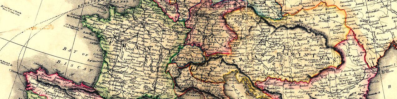
Source: Cottereau
Source: Ollie Bye
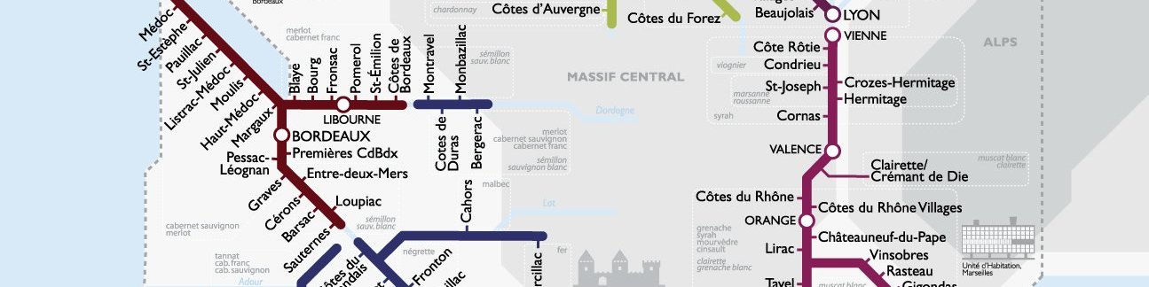
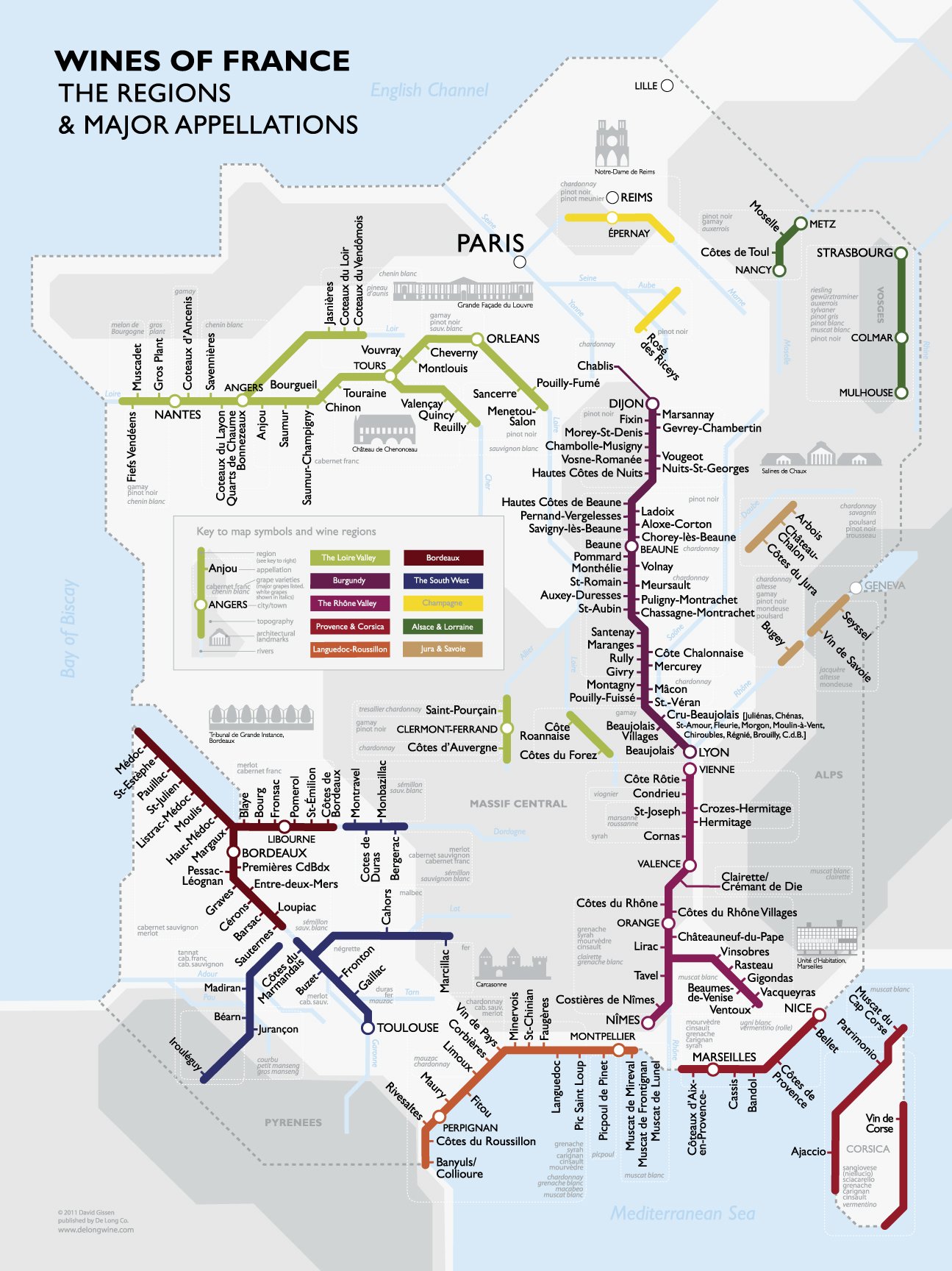
Pour créer des cartes intéractives pour vos présentations PPT, vous avez besoin de cartes vectorielles avec une séparation des pays ou des régions.
Les cartes sont disponibles en GIF, PDF, CDR, SVG et AI. Télécharger la carte au format SVG, et la convertir en WMF (avec Inkscape). Ensuite importer l’image dans Excel ou Powerpoint. Clic-droit sur l’image et choisir “dégrouper”. Toutes les zones deviennent sélectionnables à volonté (pays, région etc.).

WordPress | Baskerville 2 by Anders Noren.