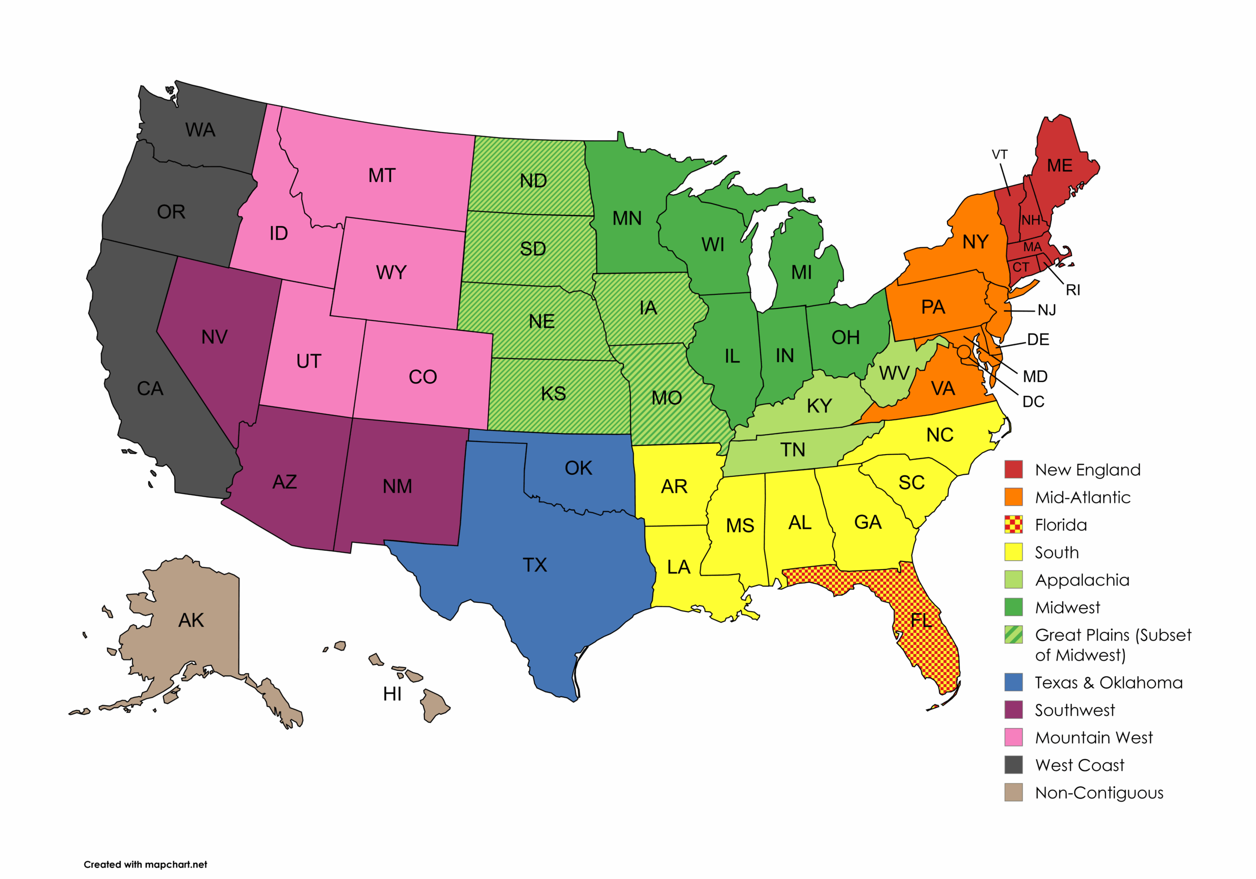
The classification of United States regions has sparked ongoing debate for decades. The challenge stems from a fundamental mismatch: geographic and cultural boundaries rarely align neatly with state lines. For truly accurate regional divisions, states would need to be subdivided—a Texas panhandle resident, after all, may have more in common with Oklahoma than with coastal Houston.
In practice, achieving consensus on regional definitions proves nearly impossible. Different organizations—from the Census Bureau to cultural geographers—draw the lines differently depending on their purposes. What follows is probably the most widely recognized approach to dividing America into regions.
Isochrone maps visualize areas reachable within the same travel time from a starting point (e.g., “30 minutes by car from Geneva”).
Advanced tools allow you to:
• Combine multiple isochrones (e.g., overlap a 60-minute zone from Geneva and a 30-minute zone from Yverdon).
• Filter results to show only areas meeting all criteria.

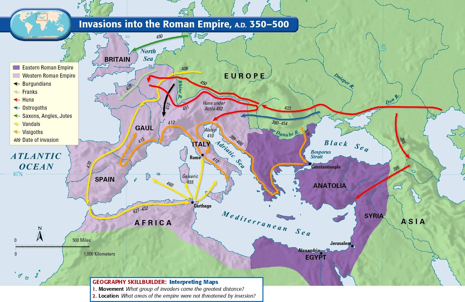
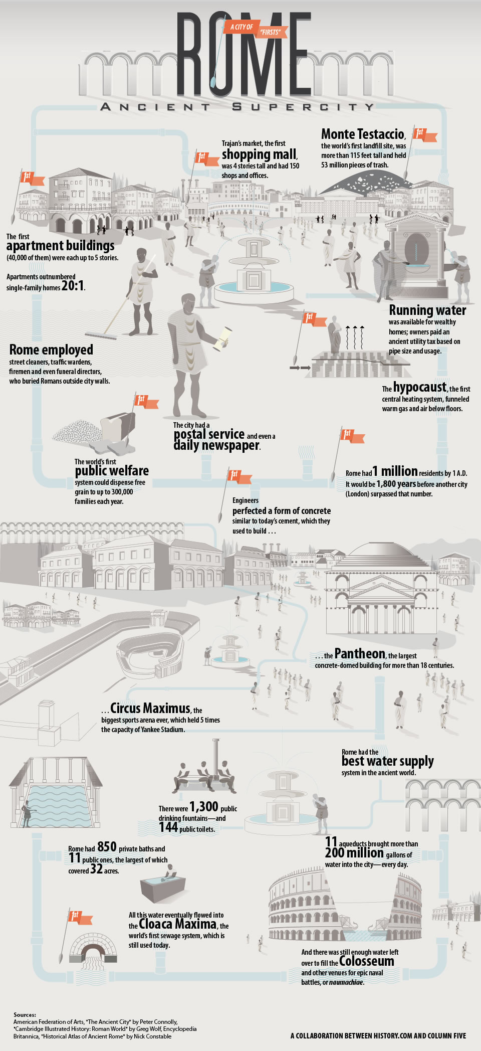
Pre-Columbian civilizations refer to the societies and cultures that thrived in the Americas before the arrival of Christopher Columbus in 1492. These civilizations, including the Maya, Aztec, and Inca, developed advanced knowledge in architecture, astronomy, agriculture, and governance, leaving a lasting impact on history despite their decline following European colonization.
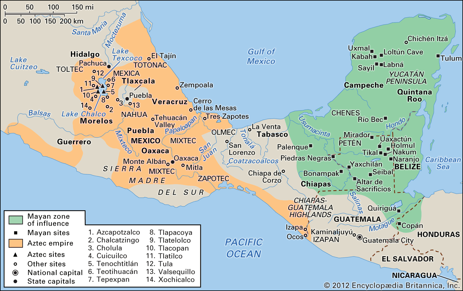
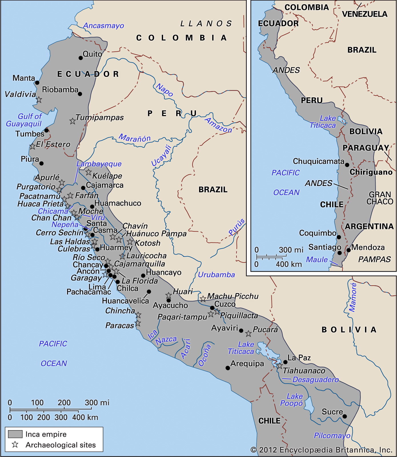
Source: Britannica
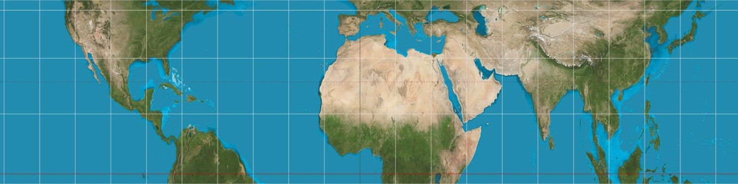
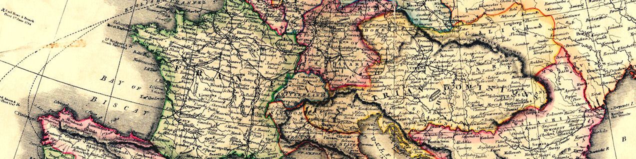
Many projections of the globe have been published over the centuries, despite the mathematical impossibility of a rectangular projection. There is then a heated debate about which is the most accurate. Impossible question of course as it depends on which parameter you value the most: angles, areas or distances. There is no way to be accurate on one parameter without changing another incorrectly.
Here are some pages to help to better understand the differences between the different projections available:


Source: EmpororTigerstar
Source: Cottereau
Source: Ollie Bye
WordPress | Baskerville 2 by Anders Noren.